Penmachno pelting
When?
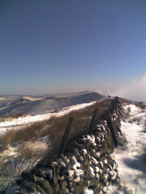
Saturday 30th December 2006
Where?
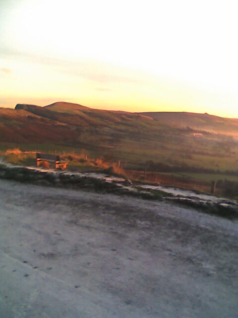
Penmachno Trail, near Betws-y-Coed, Wales.
Who?
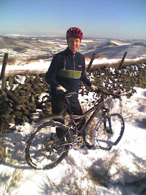
Gatecrasher Steve, Hardcore Simon.
Which way?
Just follow the signs.
Is it published?
Not yet. Visit http://www.mbwales.com/ to check for its appearance.
Tracklog file? (What’s this?)
No. :-(
Highlights
Hard to say without a map to refer to. But there are a couple of fast singletrack sections on hardpack/rocks and the last descent is good.
Memories
It rained from start to finish, except for when the rain turned to hailstones. The rain lashed down helped by a gusting wind which I thought might blow me off the side of the hill near the finish.
I felt it was a kind of condensed version of the Marin Trail with some flavour of the Grizedale trail thrown in. Gone are the days when trail centre trails meant all the climbing was on fire roads and all the descents on singletrack. This trail climbs and undulates its way along singletrack as well as using it for descents.
Unfortunately, the terrible wind meant some inviting descents needed much pedalling just to keep moving.
On arrival back in the car park I was so soaked I had to strip naked next to the car to get changed into warm clothes to avoid soaking our only haven of warmth.
All in all, it needs a re-visit in the summer to really appreciate it.
Route details
Distance: 19Km
Duration: About 2 hours.
Ascent: Plenty
% off-road: 100%
Technical difficulty: 3/5
Fitness difficulty: 3/5
Directions
Penmachno village is here. Then ask! (Proper directions to be added later.)
What else?
Car parking is quite limited. Park neatly!
Saturday 30th December 2006
Where?
Penmachno Trail, near Betws-y-Coed, Wales.
Who?
Gatecrasher Steve, Hardcore Simon.
Which way?
Just follow the signs.
Is it published?
Not yet. Visit http://www.mbwales.com/ to check for its appearance.
Tracklog file? (What’s this?)
No. :-(
Highlights
Hard to say without a map to refer to. But there are a couple of fast singletrack sections on hardpack/rocks and the last descent is good.
Memories
It rained from start to finish, except for when the rain turned to hailstones. The rain lashed down helped by a gusting wind which I thought might blow me off the side of the hill near the finish.
I felt it was a kind of condensed version of the Marin Trail with some flavour of the Grizedale trail thrown in. Gone are the days when trail centre trails meant all the climbing was on fire roads and all the descents on singletrack. This trail climbs and undulates its way along singletrack as well as using it for descents.
Unfortunately, the terrible wind meant some inviting descents needed much pedalling just to keep moving.
On arrival back in the car park I was so soaked I had to strip naked next to the car to get changed into warm clothes to avoid soaking our only haven of warmth.
All in all, it needs a re-visit in the summer to really appreciate it.
Route details
Distance: 19Km
Duration: About 2 hours.
Ascent: Plenty
% off-road: 100%
Technical difficulty: 3/5
Fitness difficulty: 3/5
Directions
Penmachno village is here. Then ask! (Proper directions to be added later.)
What else?
Car parking is quite limited. Park neatly!
posted by Steve at 1:00 PM
0 comments
![]()