Saturday, June 25, 2005

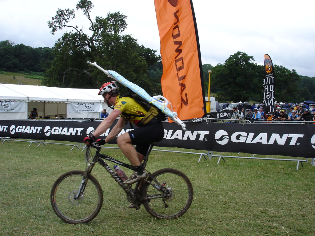
24 hours... let's call it a day (Mountain Mayhem 2005)


When?
25th June 2005

Where?
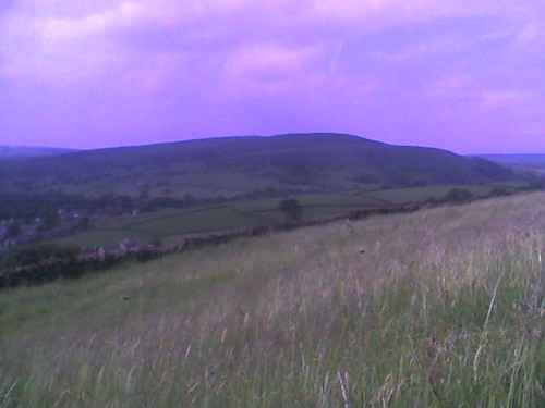
Saab Salomon Mountain Mayhem, Eastnor Castle Deer Park, Herefordshire.

Who?
Gatecrasher Steve, Mr Motivator, DIY Dave, The King of Ross.
(And a great many other riders to boot.)

Which way?
Signposted for the event only.

Is it published?
Not really as it's not all guaranteed to be open to the public outside the event. You can see a copy of the course map here.

Tracklog file? (What’s this?)
Yes. Download from here.

Highlights
The second half of the lap, after the muddiest bits.
The descent to the arena.

Memories
A nightmare night lap. I caught a chill and felt like death warmed up by the end of it.
Twelve hours later I finished a thoroughly enjoyable lap in the sunshine (and enjoyed a nice veggie chilli).

Route details
Distance: 10.6 miles
Duration: About 80 minutes for me (I think).
Ascent: 1700 feet
% off-road: 100%
Technical difficulty: 2/5
Fitness difficulty: 3/5 (but can feel like 5/5 on the night lap)

Directions
You can see a copy of the course map here.
Also see the Tracklog file (above).

What else?
The website for this perennial favourite is here.
My photos from the event are here.

Saturday, June 18, 2005

Middle Moor Picnic


When?
18th June 2005

Where?
Marple Bridge, Peak District.
SJ 963896

Who?
Gatecrasher Steve

Which way?
Marple Bridge > Roman Lakes > Hayfield > Middle Moor > Cown Edge > Marple Bridge.

Is it published?
Not to my knowledge.

Tracklog file? (What’s this?)
Yes. Download from here.

Highlights
Descent from Middle Moor to the A624.

Memories
Sitting in the grass, half way up the climb from Hayfield towards Middle Moor, eating my sandwich in the sunshine. That's also where this photo was taken.

Route details
Distance: 20.4 miles
Duration: About 3 hours
Ascent: 2964 feet
% off-road: About 50%
Technical difficulty: 3/5
Fitness difficulty: 3/5

Directions
See the Tracklog file (above).
There is also a route map in PDF format here (5.5 MBytes).

What else?
The field beyond Cown Edge can be pretty muddy for 3 seasons of the year.

Saturday, June 11, 2005

Baa Banana Black Sheep


When?
11th June 2005

Where?
Castleton, Peak District.

Who?
Gatecrasher Steve, Mr Motivator, DIY Dave.

Which way?
Castleton > Blue John Cavern > Rushup Edge > Chapel Gate Track > Edale > Hollins Cross > Hope Cross > Rowlee Farm > Ladybower Reservoir > Hope Castleton.

Is it published?
Probably. It's some of the best all-year riding in the Peak District.

Tracklog file? (What’s this?)
Yes. Download from here.

Highlights
Chapel Gate descent - a Peak District classic.
Rocky, rutty climb to Hollins Cross.
Rocky descent from Blackley Clough to A57.

Memories
As you can see from the photos, we met the tamest sheep in the Peak District when we reached Hollins Cross. It scavenged for food but all we had to share was some banana peel which she gladly ate (see photo below).

Route details
Distance: 23.2 miles
Duration: 4 -5 hours
Ascent: 4004 feet
% off-road: About 60%
Technical difficulty: 4/5
Fitness difficulty: 4/5

Directions
See the Tracklog file (above).

What else?
Castleton has plenty of pubs and cafes for post-ride re-fuelling.

Saturday, June 04, 2005

Field Trip


When?
4th June 2005

Where?
Hadfield

Who?
Gatecrasher Steve, Mr Motivator

Which way?
Hadfield Station > Charlesworth (via TPT) > Cown Edge > Lantern Pike > Hayfield > Coldwell Clough > Broad Clough > Kinder Reservoir > Middle Moor > Plainsteads > Charlesworth > Hadfield Station

Is it published?
Yes, in a magazine (mid 2005) but I've forgotten which one! :-(

Tracklog file? (What's this?)
Yes. Download from here.

Highlights
Rocky descent from Middle Moor to A624.
Challenging climb up from Coldwell Clough.
Rolling descent towards Kinder Reservoir.
Fast descent to Charlesworth.

Memories
Paul turning up late after his satellite navigation led him a merry dance.
The unfeasibly steep cobbled climb near Kinder Reservoir.
Large group of friendly walkers near Kinder.
The shooting huts.
Puncture on descent to A624. (More chatty walkers.)
Feeling absolutely "bonked" on the last climb.

Route details
Distance: 25.2
Duration: 5 hours
Ascent: 4138
% off-road: About 33%?
Technical difficulty: 3/5
Fitness difficulty: 4/5

Directions
See the Tracklog file (above).

What else?
The high ground around Kinder can be boggy.