Middle Moor Picnic
When?
18th June 2005
Where?
Marple Bridge, Peak District.
SJ 963896
Who?
Gatecrasher Steve
Which way?
Marple Bridge > Roman Lakes > Hayfield > Middle Moor > Cown Edge > Marple Bridge.
Is it published?
Not to my knowledge.
Tracklog file? (What’s this?)
Yes. Download from here.
Highlights
Descent from Middle Moor to the A624.
Memories
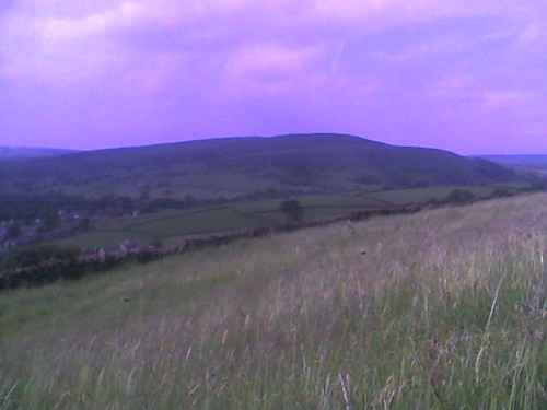
Sitting in the grass, half way up the climb from Hayfield towards Middle Moor, eating my sandwich in the sunshine. That's also where this photo was taken.
Route details
Distance: 20.4 miles
Duration: About 3 hours
Ascent: 2964 feet
% off-road: About 50%
Technical difficulty: 3/5
Fitness difficulty: 3/5
Directions
See the Tracklog file (above).
There is also a route map in PDF format here (5.5 MBytes).
What else?
The field beyond Cown Edge can be pretty muddy for 3 seasons of the year.
posted by Steve at 9:08 PM
![]()


0 Comments:
Post a Comment
<< Home